One tornado confirmed in Richland County
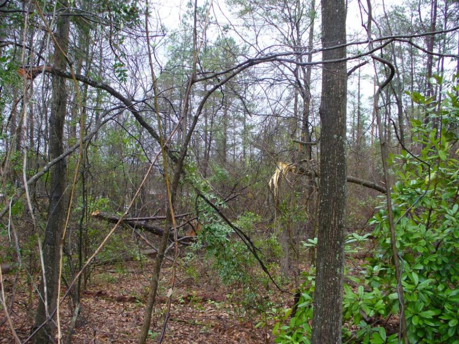
COLUMBIA, S.C. (WOLO) — The storms responsible for causing widespread damage and the deaths of more than 30 people in the Tennessee and Ohio River valleys moved through South Carolina early Saturday morning, firing off severe thunderstorms throughout the Midlands and a tornado in Richland County. The National Weather Service in Columbia confirmed that an EF0 tornado touched down in Richland County this morning west of Monticello Road near Houston Street and Bishopville Avenue. Some trees and branches fell and affected one mobile home, causing minor damage. The weather scenario began unfolding just before 5 a.m. when a line of storms entered from the west, triggering a Severe Thunderstorm Watch from the National Weather Service. After a few Severe Thunderstorm Warnings were issued, a Tornado Warning was issued for Kershaw and Richland counties just after 5:30 a.m. with concerns that a Doppler radar-indicated rotation was affecting central Richland County and the southwestern tip of Kershaw County. An hour later, the storm quickly exited the central Midlands, ending concern for severe weather for the moment. Areas south of Columbia, including Calhoun, Orangeburg, and Clarendon counties were kept under the Severe Thunderstorm Watch as the line passed through their area. The line of storms that brought heavy and copious amounts of rain is expected to linger for a portion of the day with some redevelopment. After the front clears the area later Saturday night, stable air should re-enter the Carolinas and bring much calmer conditions. You can follow the latest severe weather alerts on www.abccolumbia.com and on air on ABC Columbia. The latest weather information will also be posted on Facebook.